
Country United States Area 96.06 km² Local time Wednesday 1:24 PM | GNIS feature ID 0453778 Elevation 171 m Population 659 (2010) | |
 | ||
ZIP codes 47836, 47837, 47872, 47874 Weather 4°C, Wind NE at 19 km/h, 40% Humidity | ||
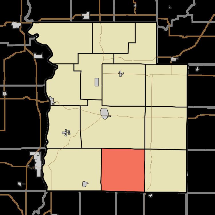
Raccoon Township is one of thirteen townships in Parke County, Indiana, United States. As of the 2010 census, its population was 659 and it contained 345 housing units.
Contents
- Map of Raccoon Township IN USA
- History
- Geography
- Unincorporated towns
- Extinct towns
- Cemeteries
- School districts
- Political districts
- References
Map of Raccoon Township, IN, USA
History
Raccoon Township took its name from the Big and Little Raccoon creeks.
The Bridgeton Covered Bridge, Bridgeton Historic District, Conley's Ford Covered Bridge, Jeffries Ford Covered Bridge, and Nevins Covered Bridge are listed on the National Register of Historic Places.
Geography
According to the 2010 census, the township has a total area of 37.09 square miles (96.1 km2), of which 37.05 square miles (96.0 km2) (or 99.89%) is land and 0.04 square miles (0.10 km2) (or 0.11%) is water.
Unincorporated towns
(This list is based on USGS data and may include former settlements.)
Extinct towns
(These towns are listed as "historical" by the USGS.)
Cemeteries
The township contains these five cemeteries: Brunot, Clear Run, Denman, Hartmans and Webster.