
Time zone IST (UTC+5:30) Elevation 1,244 m Population 1,528 (2011) | 2011 census code 271311 Local time Wednesday 10:43 PM | |
 | ||
Weather 13°C, Wind E at 2 km/h, 71% Humidity | ||
Rabung is a village in the Champhai district of Mizoram, India. It is located in the Khawzawl R.D. Block.
Contents
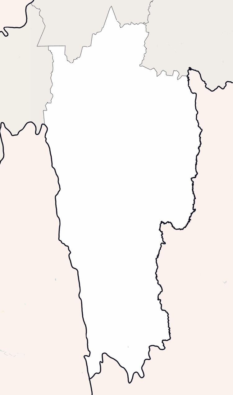
Map of Rabung, Mizoram 796310
Demographics
According to the 2011 census of India, Rabung has 295 households. The effective literacy rate (i.e. the literacy rate of population excluding children aged 6 and below) is 94.04%.
References
Rabung Wikipedia(Text) CC BY-SA