
Grid position 198/294 PAL Governorate Nabatieh Governorate Elevation 620 m (2,030 ft) Area code +961 | Country Lebanon District Marjeyoun District Time zone EET (UTC+2) | |
 | ||
Rab El Thalathine (رب الثلاثين) is a village in the Marjeyoun District in southern Lebanon.
Contents
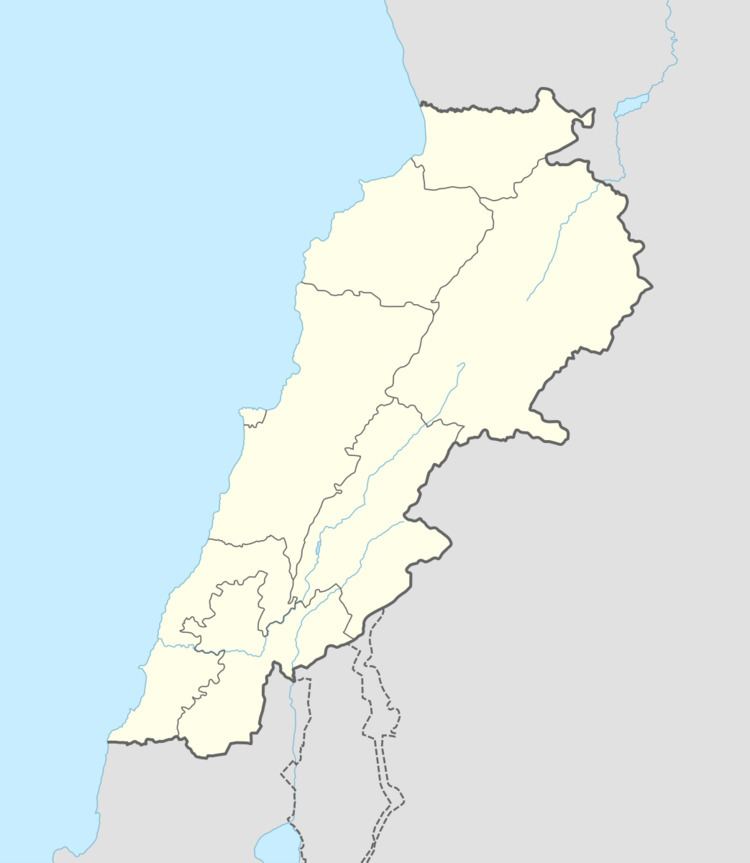
Map of Rab El Thalathine, Lebanon
Name
According to E. H. Palmer, the name Rubb Thelâthin comes from rubb meaning syrup; and thelâthin meaning thirty.
History
In 1875, Victor Guérin found it to be a village inhabited by Metawileh. He further remarked that the mosque was constructed out of parts from an old church.
In 1881, the Palestine Exploration Fund's Survey of Western Palestine (SWP) found here "several lintels and cisterns."
They further described it: "A small village, built of stone, containing about 100 Metawileh, situated on a hill-top, surrounded by figs and arable land; water supply from cisterns and spring near, and a small birket.
Modern era
During 2006 Lebanon War, on the 10 August, Israeli missiles killed a total of 5 women in the village, aged from 31 to 82 years of age. There were no indication that Hizbollah fighters were present at the time of the strikes.