
Country Ethiopia Zone Afder Time zone EAT (UTC+3) Local time Wednesday 6:17 PM | Region Somali Woreda Raaso Woreda Elevation 442 m | |
 | ||
Weather 35°C, Wind SE at 14 km/h, 32% Humidity | ||
Raaso (var. Raso) is a location in the Somali Region of Ethiopia. It is Sheikhal clan. Raaso is situated along the Imi–Ginir road, in the raaso wareda woreda of Afder Zone, some 40 kilometers north-west of West Imi (or Mirab Imi) village at a latitude and longitude of 6°32′N 41°47′E. Raaso is both the name of the Region as well as the name of the town. The other settlements or smaller towns around Raaso city are Buundada which is located on Shabeelle River, Dhaley and others. The area is characterised by thick, hilly bushland with seasonal rivers nearby that may carry water after rains, and where it is easy to dig shallow wells to get water available throughout the year.
Contents
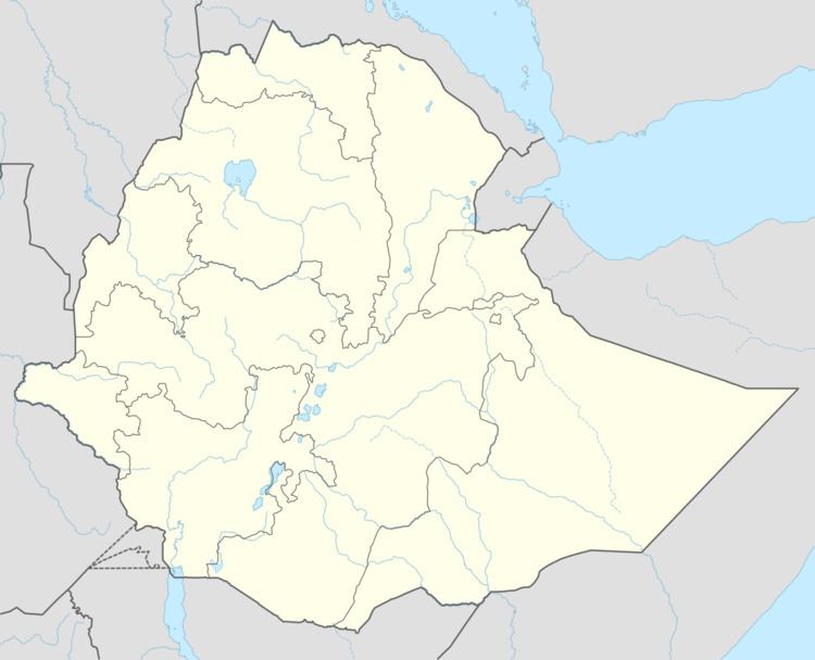
Map of Raaso, Ethiopia
The burning of the city
The town was partially burned in 2011 and according to its elders the burning of the town was politically motivated, and thus blamed the regional administration which is based in Jijiga. Furthermore, a press release organised by the town's elders states that the group "holds the Somali Regional State president directly responsible for the fire that has destroyed the Raaso business center and property worth more than 100 million Birr." The elders further claimed that "after exhaustive investigation, they believed that they have clear evidence that the burning of Raaso business district was ordered by regional President Abdi Mohamud Omar Iley and was carried out by his tribal militia camouflaged as security forces".