
Country Thailand Time zone THA (UTC+7) Geocode 9605 Province Narathiwat Province | Seat Tanyong Mat Postal code 96130 Area 435.6 km² | |
 | ||
11 09 2014 zo tung ra ngae naw
Ra-ngae (Thai: ระแงะ) is a district (amphoe) in the center of Narathiwat Province, southern Thailand.
Contents
- 11 09 2014 zo tung ra ngae naw
- Map of Ra ngae District Narathiwat Thailand
- History
- Geography
- Administration
- References
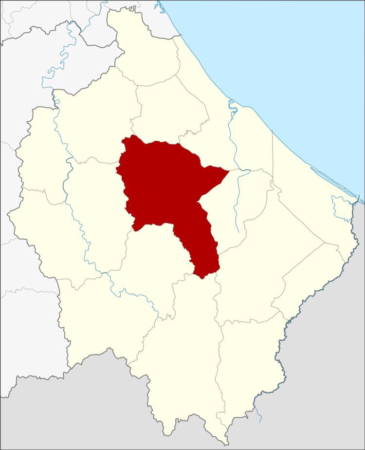
Map of Ra-ngae District, Narathiwat, Thailand
History
Mueang Ra-ngae was divided from Pattani in the reign of King Rama I by Vice-King Boworn Maha Surasinghanat. The governor position was Phraya Ra-ngae. The old city office was located nearby Kelantan state. When the first governor escaped from the city, the next governor moved the office to Tambon Tanyong Mat. In 1906 when King Chulalongkorn established Monthon Pattani, Mueang Ra-ngae was one of the satellite cities of the monthon.
Geography
Neighboring districts are (from the north clockwise) Yi-ngo, Mueang Narathiwat, Cho-airong, Su-ngai Padi, Sukhirin, Chanae, Si Sakhon, and Rueso.
The Namtok Sipo National Park is located in Ra-ngae.
Administration
The district is subdivided into 7 subdistricts (tambon), which are further subdivided into 60 villages (muban). Tanyong Mat and Ma Rue Bo Tok both have township (thesaban tambon) status and cover parts of the same-named tambon.
Missing numbers are the tambon which now form Cho-airong district.