Country Chile Time zone CLT (UTC-4) Climate Cfc | Elevation 14 m (46 ft) Area code(s) 56 + 61 Area 9,975 km² Local time Saturday 5:00 PM | |
 | ||
Weather 12°C, Wind SE at 10 km/h, 54% Humidity | ||
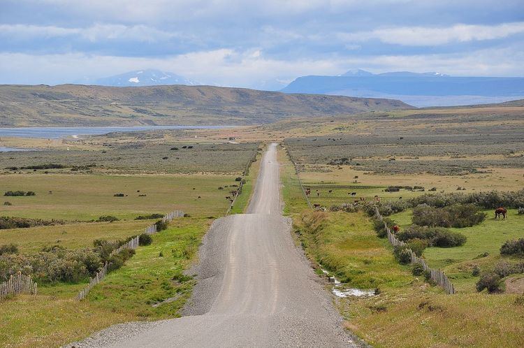
Río Verde is a Chilean commune and settlement in Magallanes Province and Region. The commune is located in the area surrounding Seno Skyring, a sea inlet north of Riesco Island.
Contents
- Map of RC3ADo Verde Magallanes y la AntC3A1rtica Chilena Region Chile
- Demographics
- Administration
- References
Map of R%C3%ADo Verde, Magallanes y la Ant%C3%A1rtica Chilena Region, Chile
Demographics
According to the 2002 census of the National Statistics Institute, Río Verde spans an area of 9,975.2 km2 (3,851 sq mi) and has 358 inhabitants (295 men and 63 women), making the commune an entirely rural area. The population grew by 6.9% (23 persons) between the 1992 and 2002 censuses.
Administration
As a commune, Río Verde is a third-level administrative division of Chile administered by a municipal council, headed by an alcalde who is directly elected every four years. The 2012-2016 alcaldesa is Tatiana Vásquez Barrientos (UDI).
Within the electoral divisions of Chile, Río Verde is represented in the Chamber of Deputies by Juan Morano (PDC) and Gabriel Boric (Ind.) as part of the 60th electoral district, which includes the entire Magallanes y la Antártica Chilena Region. The commune is represented in the Senate by Carlos Bianchi Chelech (Ind.) and Carolina Goic (PDC) as part of the 19th senatorial constituency (Magallanes y la Antártica Chilena Region).
