
Local time Tuesday 3:43 PM | ||
 | ||
Weather 10°C, Wind SW at 18 km/h, 43% Humidity | ||
Quonochontaug rhode island
Quonochontaug is composed of three small beach communities in Charlestown, Rhode Island, United States.
Contents
- Quonochontaug rhode island
- Map of Quonochontaug RI 02813 USA
- Winter walk quonochontaug rhode island
- Overview
- History
- Historic Places
- In popular culture
- References
Map of Quonochontaug, RI 02813, USA
Winter walk quonochontaug rhode island
Overview
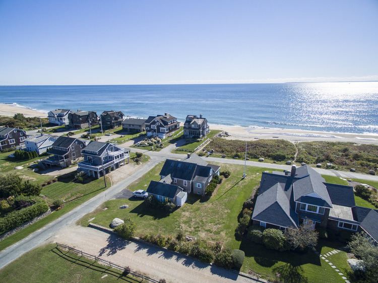
Located between two salt ponds, Ninigret Pond and Quonochontaug Pond, and their respective barrier beaches, the communities of West Beach, Central Beach, and East Beach house several hundred mostly summer residents. Today, many houses are available as summer rentals. Quonochontaug was a busy and fashionable resort of small hotels and boarding houses in the 19th Century, continuing up until the Great Hurricane of 1938. Blue Shutters Beach, where fast food can be purchased, is located at the end of East Beach Road in Quonochontaug. To the east of Blue Shutters an unpaved road leads to the entrance of the Ninigret National Wildlife Refuge. The areas was listed as a census-designated place in the 2010 census.
History
Quonochontaug was the site of an iron mining operation financed by Thomas A. Edison in the 1880s. Iron particles existed in the form of black sand on the beach and they could be separated out with magnets and melted to produce iron. The venture failed after cheaper iron was later discovered.