Highest elevation 451 m (1,480 ft) Elevation 451 m | Population 0 | |
 | ||
Location North Atlantic OceanSoutheastern Greenland | ||
Qulleq, Qutdleq or Kutdlek is an uninhabited island in the King Frederick VI Coast, Sermersooq municipality in southern Greenland.
Contents
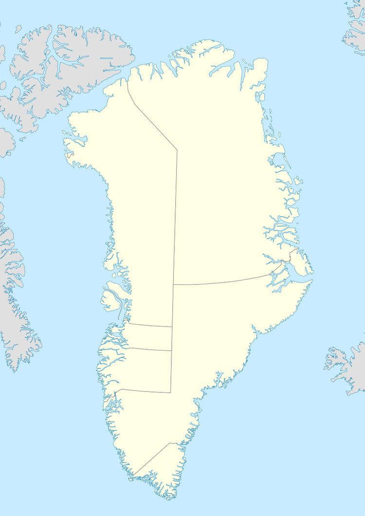
Map of Qutdleq, Greenland
Geography
Qulleq is an irregularly-shaped island that lies off the southeastern coast of Greenland. It is located 5.5 km from the shore off the mouth of the Anorituup Kangerlua fjord, to the NNE of Cape Tordenskjold, northeast of Nuuk Point.
Qulleq is the largest and southernmost island of a small offshore archipelago of four main islands, including Qipinnguak close by to the west, Takisoq to the northwest and Qeqertarsuaq to the north. The island's length is 6 kilometres (4 miles) and its maximum width 2.8 kilometres (2 miles).
History
Qutsigsormiut is an important Paleo-Eskimo archaeological site on Qulleq's southern coast. It is located by a south-facing bay known as Qulleq Sound that forms a sheltered natural harbour.
A LORAN transmitting station was built on the southeastern point of the island and lies now abandoned.
