
Area 2,410 km² Established November 2, 1994 | Nearest city Danielson Management National Park Service | |
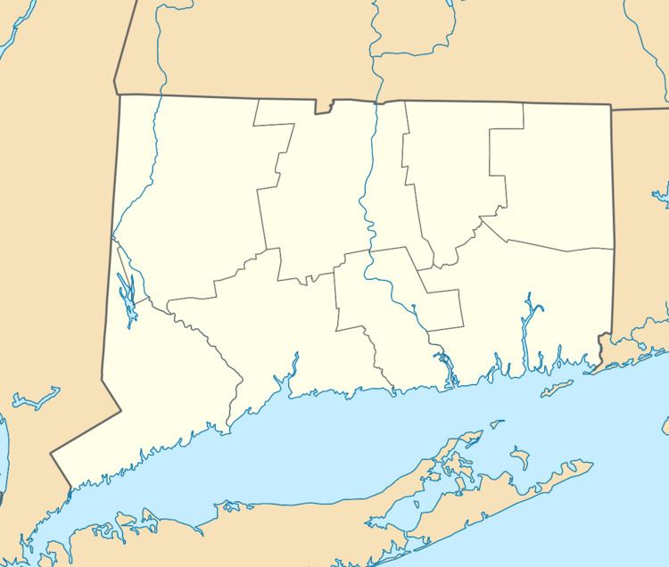 | ||
Location Connecticut / Massachusetts, USA Governing body The Last Green Valley, Inc | ||
The Quinebaug and Shetucket Rivers Valley National Heritage Corridor is located in northeastern Connecticut and portions of Massachusetts. It is an area known for its rural character with rolling hills, farmland and classic New England scenery. This area was designated because it is one of the last remaining stretches of green in the Boston to Washington, D.C. heavily urbanized corridor. It contains some of the largest unbroken forests in Southern New England, in a region of Connecticut known as the Quiet Corner.
Contents
Geography/Overview
The Corridor consists mostly of the Eastern New England Upland, transitioning to the coastal forests to the south and east. The rolling hills in the southern part of the Corridor become more rugged in the northern part of the Corridor. The highest elevation is 1,315 ft (401 m) Burley Hill in Union, CT.
The Corridor is known for its high concentration of State Parks, State Forests and other reserves such as the Yale-Myers Forest and the Norcross Wildlife Sanctuary. Of the 600,000 Acres in the Corridor, more than 100,000 are Public/Reserved lands. In fact, the area around Union, CT known as the Quinebaug Highlands contains over 40,000 acres (160 km2) of forest, larger than Acadia National Park, New England's most visited National Park.
History
Beginning in the 1980s, developmental pressures pushed citizens into creating organizations to protect lands, especially farmland from development. A report in 1988 by the National Park Service outlined solutions and it led to the creation of the Quinebaug and Shetucket Rivers Valley National Heritage Corridor in 1994. It was expanded in 1999 to include several communities in Massachusetts.