
Last eruption Unknown | Elevation 1,200 m | |
 | ||
Similar Volcán Ipala, Estadio Las Victorias, Suchitan, Chingo, Estadio Jorge Calero S | ||
Quezaltepeque is a volcanic field in Chiquimula, Guatemala at 14°34′0″N 89°27′0″W. It has erupted in the Holocene. It is an area of basaltic lava flows was erupted from vents along a north-south trending fault without explosions, cutting through Tertiary pyroclastic rocks WNW of Ipala volcano about 5 km south of Quezaltepeque town. These basaltic flows issued passively from vents along a N-S-trending fault without accompanying explosive activity. There are mounds of lava over the vents.
Contents
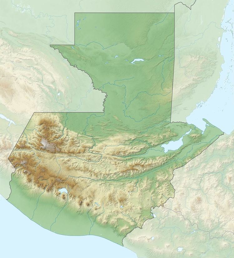
Map of Quezaltepeque, Guatemala
References
Quezaltepeque (volcano) Wikipedia(Text) CC BY-SA