
Quadrant SE Established 1973 Area 180 ha Local time Tuesday 4:40 AM | Ward 14 Annexed 1961 Elevation 1,030 m Population 5,180 (2006) Mayor Naheed Nenshi | |
 | ||
Weather -3°C, Wind SE at 19 km/h, 72% Humidity | ||
New listing for sale 252 queen alexandra rd se queensland calgary alberta t2j3p6
Queensland is a residential neighbourhood in the south-east quadrant of Calgary, Alberta. It is bounded to the north by the community of Diamond Cove, to the east by the Bow River and Fish Creek Provincial Park, to the south by Canyon Meadows Drive, and to the west by Bow Bottom Trail.
Contents
- New listing for sale 252 queen alexandra rd se queensland calgary alberta t2j3p6
- Map of Queensland Calgary AB Canada
- Demographics
- Education
- References
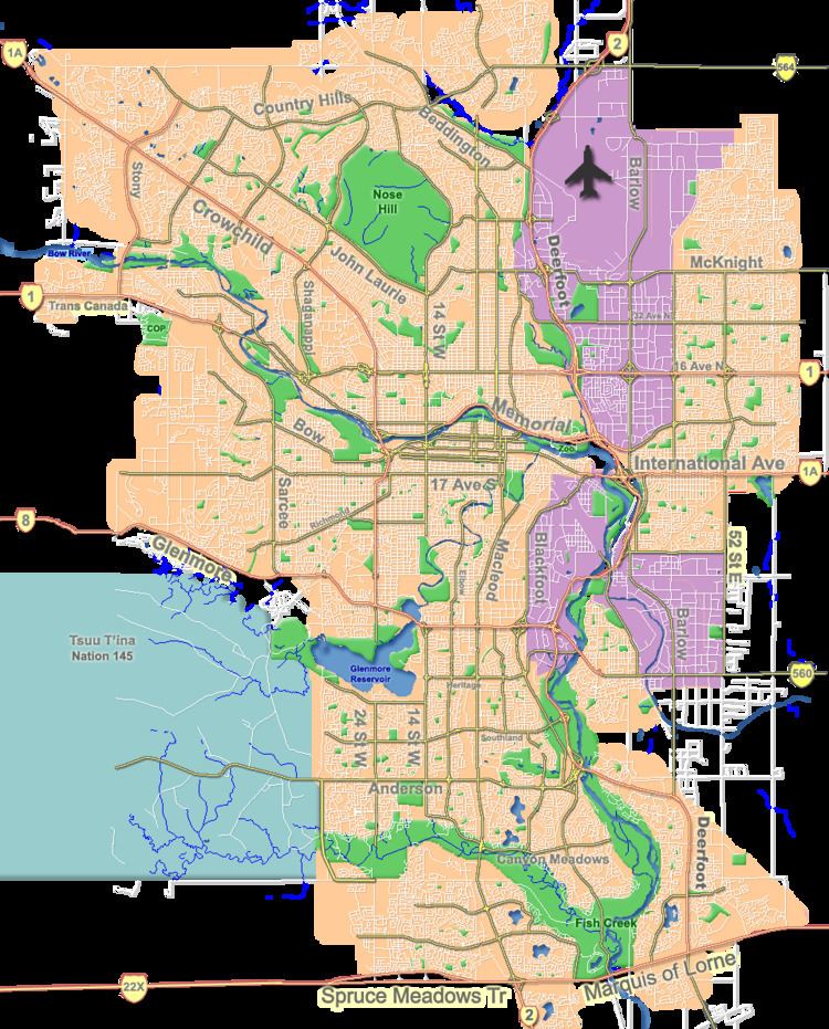
Map of Queensland, Calgary, AB, Canada
The land was annexed to the City of Calgary in 1961 and Queensland was established in 1973. It is represented in the Calgary City Council by the Ward 14 councillor.
Demographics
In the City of Calgary's 2012 municipal census, Queensland had a population of 7003477100000000000♠4,771 living in 7003189400000000000♠1,894 dwellings, a -2.2% increase from its 2011 population of 7003487700000000000♠4,877. With a land area of 1.6 km2 (0.62 sq mi), it had a population density of 2,980/km2 (7,720/sq mi) in 2012.
Residents in this community had a median household income of $60,175 in 2000, and there were 13.2% low income residents living in the neighbourhood. As of 2000, 16.2% of the residents were immigrants. A proportion of 2.4% of the buildings were condominiums or apartments, and 15.4% of the housing was used for renting.
Education
The community is served by Haultain Memorial Elementary and Wilma Hansen Junior High School public schools.