
Country Vietnam Capital Tam Son Area 550 km² Population 39,821 (2003) | Region Northeast Time zone UTC + 7 (UTC+7) Province Ha Giang Province | |
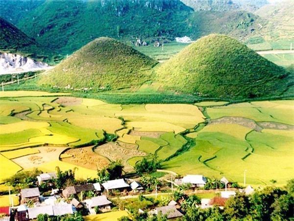 | ||
Quản Bạ is a rural district of Ha Giang province in the Northeast region of Vietnam. As of 2003, the district had a population of 39,821. The district covers an area of 550 km². The district capital lies at Tam Son.
Contents
Map of Qu%E1%BA%A3n B%E1%BA%A1 District, H%C3%A0 Giang, Vietnam
Administrative divisions
Tam Sơn, Thái An, Lùng Tám, Đông Hà, Quản Bạ, Quyết Tiến, Cán Tỷ, Thanh Vân, Bát Đại Sơn, Nghĩa Thuận, Cao Mã Pờ, Tùng Vài,Tả Ván.
References
Quản Bạ District Wikipedia(Text) CC BY-SA