
Grid position 118/155 L Governorate Nabatieh Governorate Elevation 1,300 ft (400 m) Population 8,400 (2011) | Country Lebanon District Nabatieh District Time zone EET (UTC+2) Postal code 71374 | |
 | ||
Weather 12°C, Wind SW at 6 km/h, 90% Humidity | ||
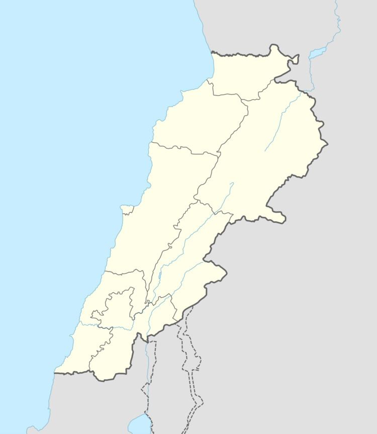
Qsaibeh, (النبطية), El Kossaybeh, also known as El Qsaïbé (in Arabic: القصيبة) is a village in southern Lebanon on the northern side of the Litani's river.
History
In the 1596 tax records, it was named as a village, Qusayba, in the Ottoman nahiya (subdistrict) of Sagif under the liwa' (district) of Safad, with a population of 26 households and 7 bachelors, all Muslim. The villagers paid a fixed tax-rate of 25 % on agricultural products, such as wheat, barley, olive trees, cotton, goats and beehives, in addition to "occasional revenues"; a total of 4,300 akçe.
In 1875, Victor Guérin found here a village with 300 inhabitants, mostly Metualis and some Greek Orthodox. The mosque was possibly a former church.
References
Qsaibeh (Nabatiyeh) Wikipedia(Text) CC BY-SA