
Grid position 133/155 L Governorate Nabatieh Governorate Elevation 660 m (2,170 ft) Local time Monday 9:51 PM | Country Lebanon District Marjeyoun District Time zone EET (UTC+2) Area code +961 | |
 | ||
Weather 12°C, Wind SW at 8 km/h, 89% Humidity | ||
Qlaiaa (Arabic: القليعة) is a village in the Marjeyoun District in southern Lebanon.
Contents
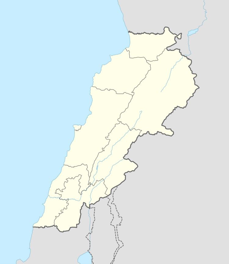
Map of Qlayaa, Lebanon
Name
According to E. H. Palmer, the name means "the little castle".
History
In 1870 Victor Guérin found the village to have 400 Maronite inhabitants.
In 1881, the Palestine Exploration Fund's Survey of Western Palestine (SWP) described it: "A village, built of stone, containing about 1 50 Christians ; it contains a church, and is situated on a ridge, with vineyards, olives, figs, and arable land around ; it has a birket and spring near." Note that a birket is a pool of water.
References
Qlaiaa Wikipedia(Text) CC BY-SA