Country Iraq Time zone 5 Local time Monday 11:20 AM | Elevation 12 m Population 110,000 (2014) | |
 | ||
Weather 21°C, Wind NW at 26 km/h, 54% Humidity | ||
Qalat Sukkar (Qal`at es Sikar) (Arabic:قلعة سكر ) is a town in the Dhi Qar Governorate, Iraq, located on the Gharraf Canal.
Contents
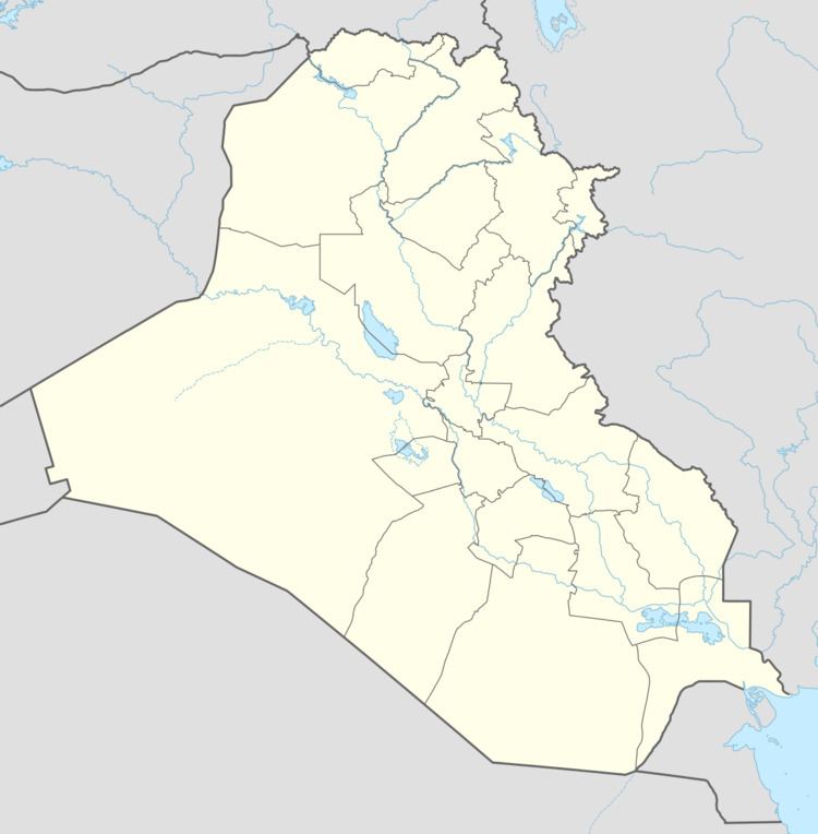
Map of Qalat Sukar, Iraq
Demographics
Qalat Sukkar has a population of 110,000.
Location
Qalat Sukar is located on a ridge west of the Gharraf Canal (the old canal that the Sumerians dug up some 4000 years ago). Qalat Sukar is 6 km northeast of the remains of the ancient Sumerian city of Larsa. A modern drainage canal separates Qalat Sukar from Larsa Tell.
James Abbott Sauer and Khair Yassine, believe that because of the name, and the former marshlands in the area, it is likely that Qalat Sukar was originally the site of a sugar mill, constructed after sugarcane was introduced into the area in the ninth century.
The nearest large city is An Nasiriyah, Iraq with a population of 587,000.
Airfield
During the Iraq War, the Qalat Sukkar Airfield was occupied by the US Marines and called Camp Fenway.
