Primary outflows Pyramid Creek Max. length 2.7 km (1.7 mi) Surface area 1.2 km (0.46 sq mi) Area 120 ha Width 500 m | Max. width 0.5 km (0.31 mi) Surface elevation 1,180 m Length 2.7 km | |
 | ||
Similar Jasper National Park, Pyramid Mountain, Rocky Mountains, Canadian Rockies, Maligne Canyon | ||
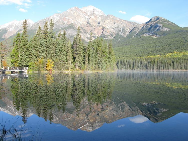
Pyramid Lake is kidney-shaped lake in Jasper National Park, Alberta, Canada. It lies at the foot of Pyramid Mountain, a natural landmark that overlooks the town of Jasper. It has a total area of 1.2 km2 (0.46 sq mi) and discharges in Athabasca River through the 2 km (1.2 mi) long Pyramid Creek.
Map of Pyramid Lake, Jasper, AB, Canada
Several picnic sites are established on the shores of the lake, as well as boat ramps. Pyramid Lake Resort is located on the Southeast point of the lake. Pyramid Island is a short distance from the resort, there is a small parking area which can be accessed by a road or hiking trails, then you cross a small wood foot bridge to the island itself, the island has benches, picnic tables and a small open wooden shelter. Pyramid Lake is connected by Pyramid Lake road and hiking trails to the town of Jasper, as well as hiking trails to other touristic sites such as Pyramid Mountain, Patricia Lake and Cabin Lake.
