
- left Agapa, Mokoritto, Pura Length 818 km Basin area 182,000 km² Mouths Kara Sea, Pyasino Gulf | - elevation 28 m (92 ft) Discharge 2,550 m³/s Country Russia | |
 | ||
- right Chernaya, Dudypta, Yangoda, Tareya, Binyuda - location Kara Sea, Arctic ocean, Russia - average 2,550 m/s (90,052 cu ft/s) | ||
Pyasina river
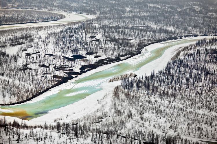
Pyasina River (Russian: Пясина) is a river in Krasnoyarsk Krai, Russia. The river is 818 kilometres (508 mi) long, and its basin covers 182,000 square kilometres (70,000 sq mi). The Pyasina River originates in Lake Pyasino and flows into the Pyasino Gulf of the Kara Sea. There are more than 60,000 lakes in the basin of the Pyasina covering a total area of 10,450 square kilometres (4,030 sq mi). The river freezes up in late September or early October and stays under the ice until June. It is connected to the Chetyrekh River through the Starica right tributary.
Contents
Map of Pyasina River, Krasnoyarsk Krai, Russia
History
The Dvina merchant Kondratiy Kurochkin reached the mouth of the Pyasina in 1610. In 1614, an ostrog was built on the river to collect yasak from the natives. In 1935, before the Dudinka-Norilsk railway had been built, the Pyasina River and Lake Pyasino were used to deliver cargo to the site of the future city of Norilsk.
Taimyr reindeer herd
The calving grounds of the Taimyr reindeer herd, a migrating tundra reindeer (R.t. sibiricus), the largest reindeer herd in the world, is along the right bank of the Pyasina River and at the bend of the middle flow of the Agape River.