
Elevation 353 m | ||
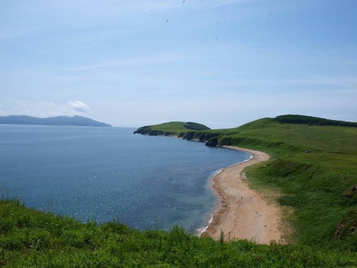 | ||
Putyatin Island (Russian: Остров Путятина) is an island in Strelok Bay (east part of Peter the Great Gulf), near 50 km east of Vladivostok and 35 km west of Nakhodka. It named after Admiral Yevfimy Putyatin. The island is under Fokino city administration.
Map of Putyatin Island, Primorskiy Kray, Russia, 692891
Area is 27.9 km2; the highest point is Startsev Mount (353 m over a sea).
Population is 994 (2010). There is only one settlement on the island. Putyatin Island is one of four inhabited islands of Primorsky Krai (the other three are Russky, Popov and Reyneke).
The main branches of economy of island are fish-processing and tourism.
The Island is separated from continental Primorye by a narrow strait (near 1.5 km).
References
Putyatin Island Wikipedia(Text) CC BY-SA