
Country Region Tulu nadu | State District | |
 | ||
University Vivekananda Degree College Languages spoken Official, Tulu, Kannada | ||
Map of Puttur, Karnataka
Puttur is a town in Dakshina Kannada district, in Karnataka state of India. It is the headquarters of the Puttur Taluk.
Contents
Geography
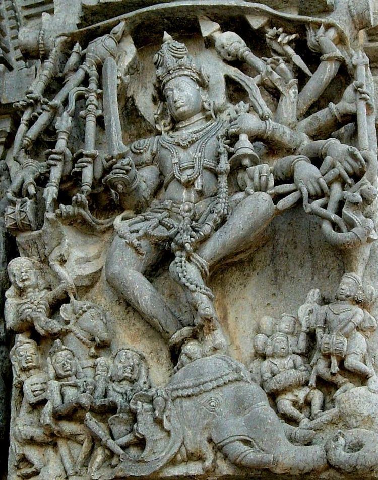
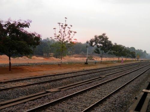
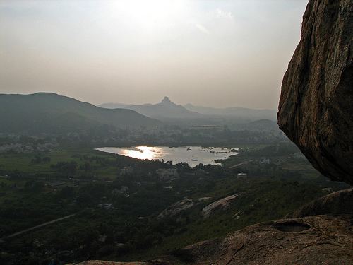
Puttur is located at 12.7648°N 75.1842°E / 12.7648; 75.1842. It has an average elevation of 87 m (300 ft). Puttur is situated 52 km (32 mi) south-east of Mangalore city. A small part of the Western Ghats touches Puttur town. There is a famous hill here in Puttur called birumala gudde and a historical Mahalingeshwara temple said to be over 800 years old. There is also a famous park of Dr. Shivarama Karanth.
Demographics
As of 2011 India census, Puttur had a population of 48,063. Males constitute 50% of the population and females 50%. The average literacy rate is 79%, which is higher than the national average of 59.5%: male literacy is 83%, and female literacy is 75%. About 11% of the population is under 6 years of age.