
Country India District Purulia Time zone IST (UTC+5:30) Area 2,336 km² ISO 3166 code ISO 3166-2:IN | State West Bengal Headquarters Purulia Vehicle registration WB Population 1.055 million (2011) | |
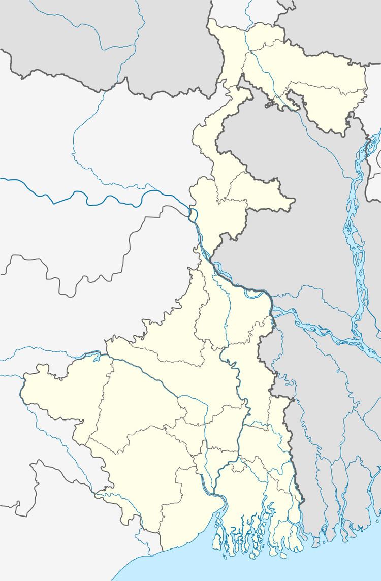 | ||
Purulia Sadar East subdivision is a subdivision of the Purulia district in the state of West Bengal, India.
Contents
Subdivisions
Purulia district is divided into the following administrative subdivisions:
Purulia Sadar East subdivision has a density of population of 452 per km2. 36.02% of the population of the district resides in this subdivision.
Administrative units
Purulia Sadar East subdivision has 8 police stations, 7 community development blocks, 7 panchayat samitis, 62 gram panchayats, 890 inhabited villages, 1 municipality, 5 census towns. The single municipality is at Purulia. The census towns are: Bandwan, Manbazar, Lagda, Raghabpur and Hutmura. The subdivision has its headquarters at Purulia.
Police stations
Police stations in Purulia Sadar East subdivision have the following features and jurisdiction:
Blocks
Community development blocks in Purulia Sadar East subdivision are:
Gram panchayats
The subdivision contains 62 gram panchayats under 7 community development blocs:
Electoral constituencies
Lok Sabha (parliamentary) and Vidhan Sabha (state assembly) constituencies in Purulia district were as follows: