
Area 96.92 km² Literacy 82.1% Area code 03212 | Time zone IST (UTC+5:30) Vehicle registration WB Elevation 13 m Population 173,437 (2011) | |
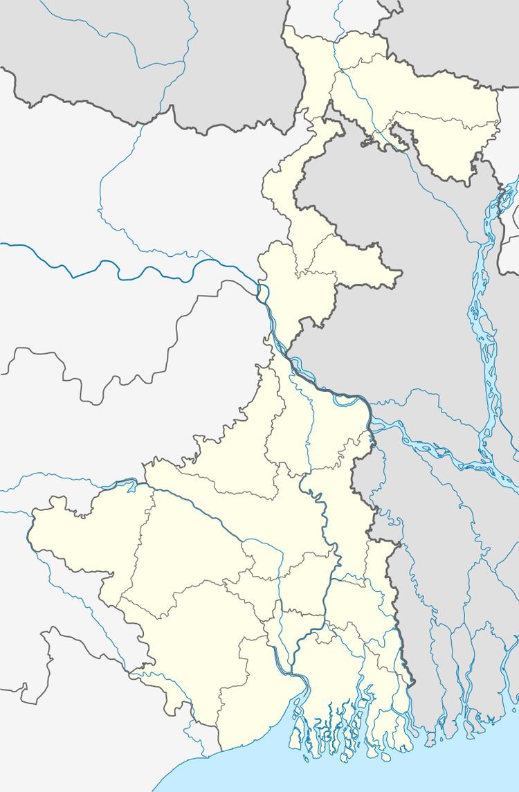 | ||
Pursurah (also spelled Pursura) is a village in Pursurah CD Block in Hooghly district in the Indian state of West Bengal. It is under Pursurah police station in Arambag subdivision.
Contents
Map of Pursura, West Bengal
Geography
Pursurah, the eponymouss CD Block headquarters, is located at 22°50′30″N 87°57′37″E.
Demographics
As per 2011 Census of India Pursura had a total population of 7,225 of which 3,681 (51%) were males and 3,544 (49%) were females. Population below 6 years was 767. The total number of literates in Pursura was 5,341 (82.70% of the population over 6 years).
References
Pursurah Wikipedia(Text) CC BY-SA