
Listing Hewitt, Marilyn Elevation 832 m | OSI/OSNI grid V886851 Prominence 597 m | |
 | ||
Similar Mangerton Mountain, Baurtregaum, Mullaghanattin, Torc Mountain, Cnoc na Péiste | ||
Purple Mountain (Irish: an Sliabh Corcra) is an 832 m (2,730 ft) mountain in County Kerry, Republic of Ireland.
Contents
Map of Purple Mountain, Doogary, Co. Kerry, Ireland
GeographyEdit
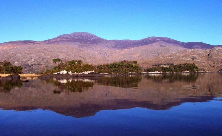
It is a massif that includes three main peaks: Purple, Tomies (735m) and Shehy (571m). Purple is the 27th highest peak in Ireland. The mountain is bounded to the west by the Gap of Dunloe, which separates it from Macgillycuddy's Reeks. To the south and east are the Lakes of Killarney and to the north is the wide, flat valley of the River Laune. The eastern half of Purple Mountain is part of Killarney National Park. Within the national park, the lower slopes are covered in oak forests, some of which are remnants of those that covered Ireland before the arrival of humans.
HistoryEdit
Before the 19th century, the whole massif was referred to as Tomies, Tomish or Toomish. In Irish Names of Places, Patrick Weston Joyce writes that the name comes from the Irish Tuamaidhe and refers to two burial cairns on the summit. When the name Purple Mountain gained currency in the 19th century, the older name was probably relegated in status, referring only to the lower peak (Tomies). In his Topographical Dictionary of Ireland (1837), Samuel Lewis wrote that Purple Mountain is "so called from the colour of the shivered slate on its surface".
Other projectsEdit
Media related to Purple Mountain, Ireland at Wikimedia Commons