
Country United States of America | ||
 | ||
Similar Purisima Creek Redwood, North Ridge Trail - Purisima, Phleger Estate, Tunitas Creek, Pilarcitos Creek | ||
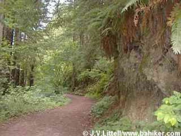
Purisima Creek is an 8.0-mile-long (12.9 km) stream in San Mateo County, California which rises 1.3 miles (2.1 km) north of Sierra Morena and flows westward to the Pacific Ocean 2.3 miles (3.7 km) south-southeast of Miramontes Point. Much of its watershed has been incorporated in the Purisima Creek Redwoods Open Space Preserve.
Contents
Map of Purisima Creek, California, USA
History
The first European land exploration of Alta California, the Spanish Portolà expedition, passed through the area on its way north, camping near the creek on October 27, 1769.
Tributaries
References
Purisima Creek (San Mateo County) Wikipedia(Text) CC BY-SA