
Municipal tax rate 20% Local time Thursday 11:42 AM | Time zone EET (UTC+2) Website www.puolanka.fi | |
 | ||
Area rank 24th largest in Finland Weather -4°C, Wind SW at 11 km/h, 55% Humidity | ||
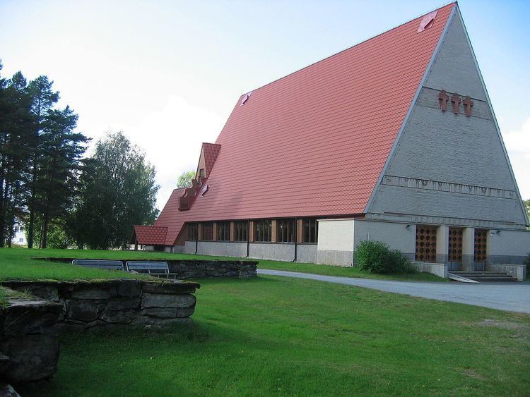
Puolanka
Puolanka is a municipality in Finland located in the Kainuu region. The municipality has a population of 2,765 (31 March 2016) and covers an area of 2,461.25 square kilometres (950.29 sq mi) of which 137.3 km2 (53.0 sq mi) is water. The population density is 1.12 inhabitants per square kilometre (2.9/sq mi).
Contents
Map of 89200 Puolanka, Finland
The highest waterfall in Finland, Hepoköngäs is located 16 kilometres (10 mi) from the center of Puolanka.
The municipality is unilingually Finnish. The municipality is also known as "Puolango" in Swedish documents.
History
The first permanent settlers in Puolanka came in the 1550s.
The municipality of Puolanka was established in the year of 1867. In that same year the Puolanka parish became independent from the Hyrynsalmi church to which it had previously belonged to administratively. The municipal council of Puolanka was formed in the year of 1916.
At its peak Puolanka had a population of about 7,520 in 1960. Towards the end of the 1960s, however, Puolanka's population began to decline, alike other municipalities within Kainuu.
Villages
Villages within Puolanka are as follows: Aittokylä, Auho, Joukokylä, Kivarinjärvi, Kotila, Kongasmäki, Leipivaara, Lylykylä, Naulaperä, Puokio, Puolanka, Rasinkylä, Suolijärvi, Vihajärvi, Väyrylä, Yli-Oterma, Törmänmäki.