
Country Peru Founded April 7, 1954 UBIGEO 150127 Area 130.5 km² | Region Lima Time zone PET (UTC-5) Website munipuntanegra.gob.pe Province Lima Province | |
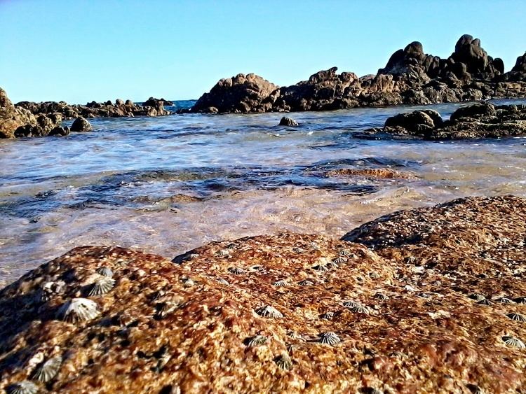 | ||
Punta negra hostel playa ola grande
The Peruvian district of Punta Negra is one of the 43 districts of the Province of Lima. It borders the district of Punta Hermosa to the north, the Province of Huarochirí to the east, the district of San Bartolo to the south, and the Pacific Ocean to the west.
Contents
Map of Punta Negra, Peru
The district was created on April 7, 1954 according to the Law Nº 12096. It has an extension of 130.5 km² and an estimated population of 4,000 inhabitants. Among the main Peruvian social Clubs that have their headquarters in this district, the most outstanding are the Country Club El Bosque (which has here its beach site) and the Club Social y Deportes Punta Negra.
References
Punta Negra Wikipedia(Text) CC BY-SA