
 | ||
Restaurants El Horno De Juan, Homero Bar, Requetep, Chivitos Marcos, Como la Vaca al Toro | ||
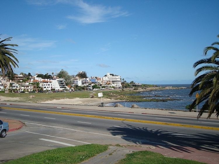
Punta Gorda is a barrio (neighbourhood or district) of Montevideo, Uruguay. It takes its name from the promontory of Punta Gorda.
Contents
- Map of Punta Gorda 11400 Montevideo Montevideo Department Uruguay
- Location
- Landmarks
- Educational facilities
- Places of worship
- References
Map of Punta Gorda, 11400 Montevideo, Montevideo Department, Uruguay
Location
It borders Malvín to the west, Las Canteras to the northwest, Carrasco Norte and Carrasco to the northeast and the coastline to the south. The coastal avenue along Punta Gorda takes on the names Rambla O'Higgins and Rambla República de Méjico, across which are the beaches Playa de los Ingleses and Playa Verde.
Landmarks
On top of the promontory is a square which is also a park, the Plaza de la Armada (formerly known as Plaza Virgilio) and it is a tourist hotspot. Another notable sight is the Molino de Perez, a historic watermill, now housing a cultural centre.
Educational facilities
Places of worship
References
Punta Gorda, Montevideo Wikipedia(Text) CC BY-SA