
 | ||
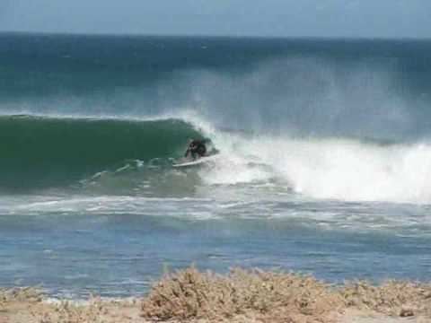
The way to the surf punta abreojos m xico
Punta Abreojos (26°42′52″N 113°34′20″W) is a fishing town in Mulegé Municipality, Baja California Sur, Mexico.
Contents
- The way to the surf punta abreojos m xico
- Map of Punta Abreojos Baja California Sur Mexico
- Punta abreojos
- References
Map of Punta Abreojos, Baja California Sur, Mexico
It is located at the entrance to Laguna San Ignacio, a Biosphere Reserve which is frequently visited by pods of grey whales. An isolated hill, 95 metres (312 ft) high, rises a few miles behind the town, and is a conspicuous landmark for sailors. Several lighthouses are situated near the town.
Punta Abreojos was named by Francisco de Bolaños, whose expedition reached the headland, but no further. Abreojos means "open your eyes", and refers to the treacherous sailing conditions, with many rocks and reefs.
Punta Abreojos is reached by a long road with few features of interest. It comprises 500 houses, some grocery stores, an airstrip, a fish packing plant, a hardware store, churches, schools and a medical clinic. The town's main economic output is in fishing for California spiny lobster and abalone.