
Charter 1924 Time zone EET (UTC+2) Local time Thursday 10:28 AM Region Southern Savonia | Consolidated 2013 Website www.punkaharju.fi Population 3,702 (31 Dec 2012) | |
 | ||
Weather -4°C, Wind W at 8 km/h, 58% Humidity | ||
Punkaharju is a former municipality of Finland. It was consolidated with the town of Savonlinna on January 1, 2013.
Map of 58500 Punkaharju, Finland
It is located in the province of Eastern Finland and is part of the Southern Savonia region. The municipality has a population of 3,702 (31 December 2012) and covers an area of 748.12 square kilometres (288.85 sq mi) of which 276.86 km2 (106.90 sq mi) is water. The population density is 7.8555/km2 (20.3457/sq mi). The municipality is unilingually Finnish.
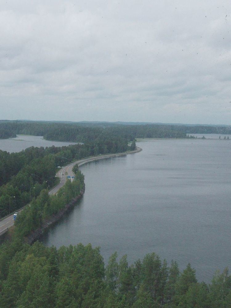
Finnish Forest Museum Lusto and the Finnish forest research institute is located at Punkaharju, which hosts a research forest park open for visitors. In the park you can find some of the tallest trees in the whole Finland, for example pines in the height of 40 metres (130 ft). Punkaharju ridge is a famous national landscape protected by a national reserve.