
Country India District Nuh Website haryana.gov.in Local time Thursday 10:29 AM | State Haryana Time zone IST (UTC+5:30) Elevation 187 m ISO 3166 code ISO 3166-2:IN | |
 | ||
PIN 122508
registration_plate = Weather 33°C, Wind W at 11 km/h, 31% Humidity | ||
Punahana is a town in PUNAHANA Sub-Division in NUH district in the Indian state of Haryana.
Contents
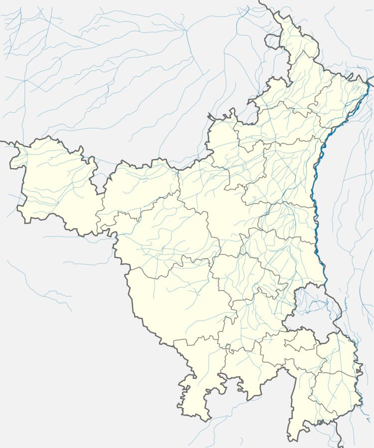
Map of Punhana, Haryana 122508
Geography
Punahana has an average elevation of 187 metres (613 feet), And the largest Town Of Mewat.
Demographics
As of 2001 India census, Punahana had a population of 13,178. Males constitute 52% of the population and females 48%. Punahana has an average literacy rate of 53%, lower than the national average of 59.5%: male literacy is 63%, and female literacy is 41%. In Punahana, 21% of the population is under 6 years of age.
Nearby Towns
References
Punahana Wikipedia(Text) CC BY-SA