
Sub-provincial city Dalian Postal code 116200 Local time Thursday 9:27 AM Province Liaoning | Time zone China Standard (UTC+8) Area 2,770 km² Population 741,230 (2010) | |
 | ||
Country People's Republic of China Seat No. 12 Fuqian Road (府前路12号) Dalian district map Subdivisions of Dalian, Liaoning
1
2
3
4
5
6
7
8
9
10
Core
1
Zhongshan
2
Xigang
3
Shahekou
4
Ganjingzi
Suburban
5
Lüshunkou
6
Jinzhou
9
Pulandian
Satellite
8
Wafangdian
10
Zhuanghe
Rural
7
Changhai Co. Weather 13°C, Wind NE at 10 km/h, 34% Humidity Points of interest Anbo Hot Spring, Laomao Mountain | ||
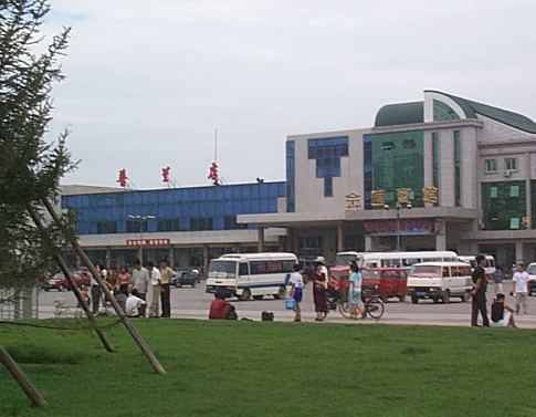
Pulandian District (simplified Chinese: 普兰店区; traditional Chinese: 普蘭店區; pinyin: Pǔlándiàn Qū) is one of the seven districts under the administration of Dalian, located in the south of Liaoning province, People's Republic of China. Its area is 2,769.90 square kilometres (1,069.46 sq mi) and its permanent population as of 2010 is 741,230. The district borders the prefecture-level city of Yingkou to the north.
Contents
- Map of Pulandian Dalian Liaoning China
- Geography
- Administrative divisions
- Demography
- Economy
- Transportation
- References
Map of Pulandian, Dalian, Liaoning, China
Geography
Pulandian District is located in the northern part of Dalian on the Liaodong Peninsula. It covers an area of 6968 square kilometers. It borders Zhuanghe to the east, Wafangdian to the west, Jinzhou District to the south and Greater Yingkou to the north. Its area is 2923 square kilometres.
Pulandian has a long coast line on the Yellow Sea in its southeastern part and a short coastline on the Bohai Sea in its southwestern part.
Administrative divisions
There are 15 subdistricts, 6 towns, and 3 townships under the district's administration.
Subdistricts:
Towns:
Townships:
Demography
Pulandian has a population of 915,595.(est. 2015)
Economy
Pulandian's industries are agriculture, fishing and the three main manufacturing industries: fabrics, electric machinery and food.