
Villages 31 Climate Am Population 50,268 (2015) Number of airports 1 | Department Gracias a Dios Elevation 10 m (30 ft) Area 8,063 km² Local time Wednesday 3:52 PM | |
 | ||
Time zone Central America (UTC-6) Weather 29°C, Wind NE at 14 km/h, 66% Humidity | ||
Auhya yari wakia las ra ces de puerto lempira
Puerto Lempira is the capital of the Gracias a Dios department in northeastern Honduras, located on the shores of the Caratasca Lagoon. Though it does not have paved roads, it is the largest town in the La Mosquitia region.
Contents
- Auhya yari wakia las ra ces de puerto lempira
- Map of Puerto Lempira Honduras
- Despegando de puerto lempira takeoff from puerto lempira
- Transportation
- References
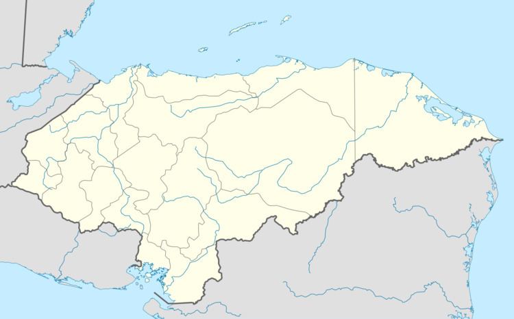
Map of Puerto Lempira, Honduras
The town is named for the 16th century leader of the indigenous Lenca peoples, Lempira, who directed an ultimately unsuccessful resistance against the Spanish conquistador forces in the 1530s.
Puerto Lempira became the departmental capital in 1975, prior to which it was Brus Laguna. In the 1980s, the town became a centre for CIA operations against the Sandinistas.
Its population as of 2001 was 4,012.
Puerto Lempira is sister city to Plattsburgh, New York, US, and has been since 2011.
Despegando de puerto lempira takeoff from puerto lempira
Transportation
The city is served by Puerto Lempira Airport, which operates several flights a week on a regular schedule.