
Area 9,914 km² UBIGEO 1009 | Region Huánuco Region | |
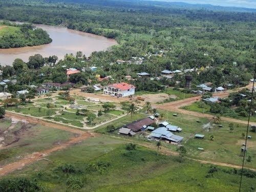 | ||
The Puerto Inca Province is the largest of eleven provinces of the Huánuco Region in Peru. The capital of this province is the city of Puerto Inca.
Contents
Map of Puerto Inca Province, Peru
Boundaries
Languages
According to the 2007 census, Spanish was spoken by 89.5% of the population as their first language, while 5.5% spoke Quechua, 1.9% spoke Asháninka, 0.3% spoke Aymara, 2.6% spoke other indigenous languages and 0.0% spoke foreign languages.
Political division
The province is divided into five districts, which are:
Places of interest
References
Puerto Inca Province Wikipedia(Text) CC BY-SA