
Length 17 km | ||
 | ||
Similar Georges River, Cabramatta Creek, Duck Creek, Vineyard Creek, Prospect Reservoir | ||
Prospect Creek, an urban watercourse of the Georges River catchment, is located in the western and Canterbury-Bankstown regions of Sydney, in New South Wales, Australia.
Contents
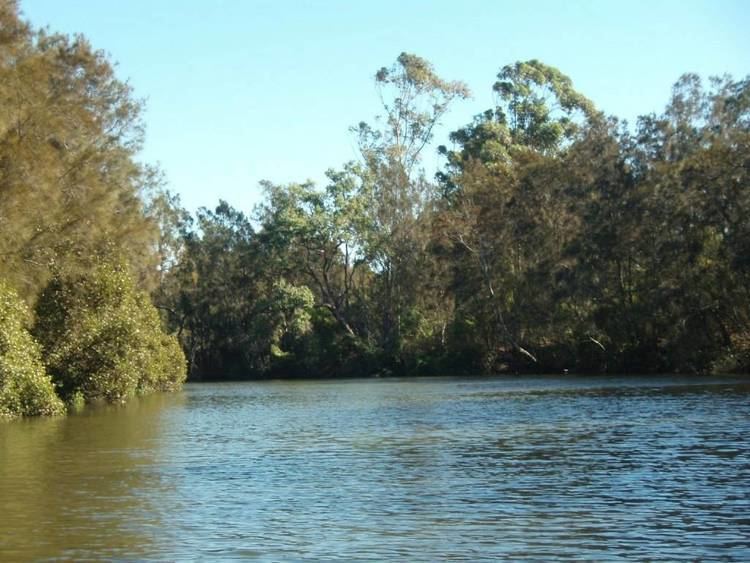
Map of Prospect Creek, New South Wales, Australia
As Prospect Reservoir forms a part of the Sydney metropolitan water supply, the flow of the creek is regulated in accordance with the operational requirements of Sydney Water. The creek is 26 kilometres (16 mi) long, starting at the Prospect Reservoir at the top of the catchment and flows to the Georges River at Georges Hall.
Course and features
Prospect Creek rises below Prospect Reservoir, north of Bulls Hill in Prospect, within the Blacktown local government area, and flows generally southeast by east, through the Holroyd, Fairfield, Liverpool and Bankstown local government areas, before reaching its confluence with the Georges River, at Georges Hall, spilling into Dhurawal Bay in the Chipping Norton Lakes.
The catchment area of the creek is approximately 98 square kilometres (38 sq mi), and is largely urbanised with industrial land uses, residential and open space for recreation.
Restrictions
Fishing in Prospect Creek is closed to all recreational fishing traps. Penalties apply for not complying with fishing rules and regulations. Sharks can be found in the creek as the Georges River is tidal up to the Liverpool Weir, and Prospect Creek connects berlow that point. As such, swimming is not recommended.
Recreation
The creek winds through a number of parks and reserves, with the most prominent ones being, Gipps Road Sporting Complex, Rosford Street Reserve and the contiguous Long Street Park in Smithfield, Cawarra Park in Fairfield, Fairfield Road Park in Yennora, Makepeace Oval in Fairfield and Henry Lawson Reserve in Georges Hall, going from northwest to southeast.
There are walkways or cycling paths that parallel the creek. The longest, continuous walking path that runs alongside creek starts from Widmere Road, adjacent to the Liverpool–Parramatta T-way, in the northern periphery of Wetherill Park, and ends at Fairfield Road Park in Yennora, opposite of Yennora Fire Station. The walkabouts are within the surroundings of the Australian bushland, which include native trees such as eucalyptus.