
Max. length 0.3 mi (0.48 km) Surface area 13 acres (53,000 m) Length 500 m Surface elevation 588 m Mean depth 1.8 m | Basin countries United States Max. width 0.1 mi (0.16 km) Average depth 6 ft (1.8 m) Width 200 m Area 5 ha | |
 | ||
Similar | ||
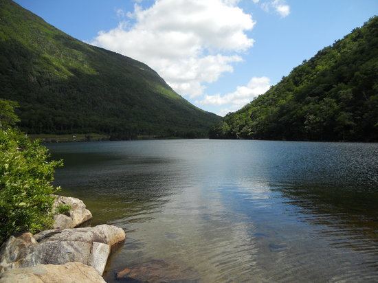
Profile Lake is a 13-acre (53,000 m2) water body located in Franconia Notch in the White Mountains of New Hampshire, at the foot of Cannon Mountain. The lake was given its name due to its location directly beneath the Old Man of the Mountain, a famous rock formation which collapsed in 2003. The lake is near the height of land in Franconia Notch; the lake's outlet is the Pemigewasset River, which flows south to the Merrimack River and ultimately the Gulf of Maine (Atlantic Ocean) at Newburyport, Massachusetts.
Map of Profile Lake, Franconia, NH 03580, USA
The lake is classified as a coldwater fishery, with observed species including brook trout.
References
Profile Lake Wikipedia(Text) CC BY-SA