
Country United States County Windsor FIPS code 50-57400 Elevation 284 m Population 454 (2010) Area code 802 | Time zone Eastern (EST) (UTC-5) GNIS feature ID 1459078 Zip code 05153 Local time Monday 1:33 PM | |
 | ||
Weather 2°C, Wind SE at 8 km/h, 96% Humidity Area 7.511 km² (7.511 km² Land / 10 ha Water) | ||
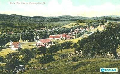
Proctorsville is a census-designated place (CDP) in the town of Cavendish, Windsor County, Vermont, United States. As of the 2010 census, the population of the CDP was 454.
Contents
Map of Proctorsville, Cavendish, VT 05153, USA
Geography
The center of Proctorsville is located just east of the junction of Vermont Route 131 with Vermont Route 103, along the Black River. Route 131 heads east through Cavendish village towards Ascutney, while Route 103 travels west to Ludlow and south through Proctorsville Gulf to Chester.
References
Proctorsville, Vermont Wikipedia(Text) CC BY-SA