
 | ||
Prilep Knoll (Bulgarian: Прилепска могила, ‘Prilepska Mogila’ \'pri-lep-ska mo-'gi-la) is the ice-covered hill rising to over 700 m at the south entrance to Misty Pass, on the west side of Laclavère Plateau on Trinity Peninsula in Graham Land, Antarctica. It is surmounting Broad Valley to the southeast.
Contents
The knoll is named after the settlement of Prilep in Southeastern Bulgaria.
Location
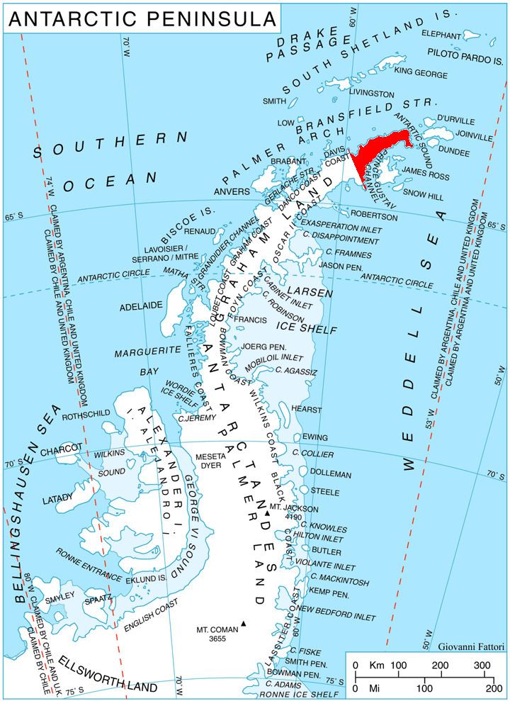
Prilep Knoll is located at 63°29′15″S 57°58′45″W, which is 2.39 km east of Morro del Paso Peak, 1.41 km south by west of Dabnik Peak, 10.08 km west of Kanitz Nunatak and 6.72 km north of Yarlovo Nunatak. German-British mapping in 1996.
Maps
References
Prilep Knoll Wikipedia(Text) CC BY-SA