
Administrative center selo of Turuntayevo Rural localities 38 Founded 1940 | Federal subject Republic of Buryatia Selsoviets 9 Area 15,472 km² | |
 | ||
Municipally incorporated as | ||
Pribaykalsky District (Russian: Прибайка́льский райо́н; Buryat: Байгал шадар аймаг) is an administrative and municipal district (raion), one of the twenty-one in the Republic of Buryatia, Russia. It is located in the center of the republic. The area of the district is 15,472 square kilometers (5,974 sq mi). Its administrative center is the rural locality (a selo) of Turuntayevo. As of the 2010 Census, the total population of the district was 26,856, with the population of Turuntayevo accounting for 22.0% of that number.
Contents
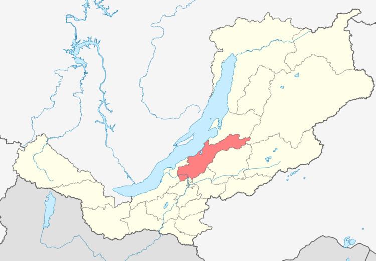
Map of Pribaykalsky District, Buryatia, Russia
History
The district was established on December 12, 1940 from parts of the territories of Kabansky and Barguzinsky Districts.
Administrative and municipal status
Within the framework of administrative divisions, Pribaykalsky District is one of the twenty-one in the Republic of Buryatia. The district is divided into nine selsoviets, which comprise thirty-eight rural localities. As a municipal division, the district is incorporated as Pribaykalsky Municipal District. Its nine selsoviets are incorporated as ten rural settlements within the municipal district. The selo of Turuntayevo serves as the administrative center of both the administrative and municipal district.