
OS grid reference SJ492195 Local time Sunday 3:17 PM | Sovereign state United Kingdom Postcode district SY4 Dialling code 01939 | |
 | ||
Weather 14°C, Wind E at 23 km/h, 54% Humidity | ||
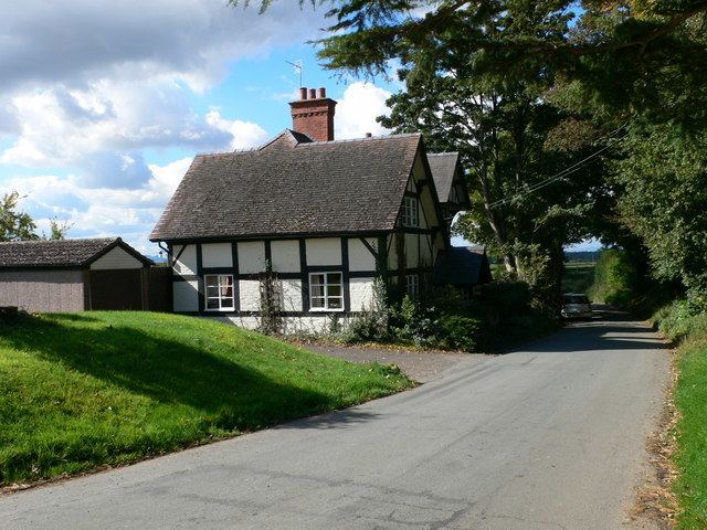
Preston Gubbals is a small village in Shropshire, England. It lies on the A528 Shrewsbury-Ellesmere road and is in the parish of Pimhill.
Map of Preston Gubbals, Shrewsbury, UK
The name, spelt Preston Gubbalds or Preston Gobald in some historical sources, is derived from the Old English for "priest's settlement", along with the name of Godebold or Godbold, a priest who was subtenant of the manor in 1066 and at the time of the Domesday Book survey. The same man also held PREEN, LACK, ATCHAM AND UCKINGTON. According to the Rotuli Hundredorum. [II. 75. 172] Preston Gobald coupled with Bosshall, was said to be held by [Sir] Thomas de Boshall, as mentioned in the Nomina Villlarum of 1316. To the west is the large village of Bomere Heath (once a hamlet of Preston Gubbals parish) and to the south is the small village of Albrighton. The village church is dedicated to St. Martin and contains a mediaeval chancel, now the south aisle, with 19th century additions.
To the north of the village, as the A528 passes by Pim Hill, is Lea Hall, a notable Elizabethan brick house, and its dovecote.