
Length 68 km | ||
 | ||
Source Upper Peninsula of Michigan | ||
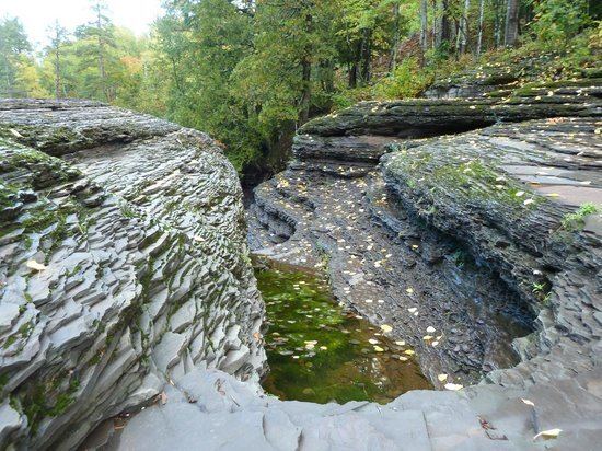
The Presque Isle River runs 42.1 miles (67.8 km) through the Upper Peninsula of Michigan and empties into Lake Superior. Along its course, it flows through the Ottawa National Forest and Porcupine Mountains Wilderness State Park. It has 300 square miles (780 km2) of drainage area in Upper Michigan and northern Wisconsin.
Contents
Map of Presque Isle River, Michigan, USA
Several waterfalls are located on the river. They include (from west to east):
Kayaking the presque isle river may 2013
References
Presque Isle River Wikipedia(Text) CC BY-SA