
Area 25,421 km² | Time zone BRT (UTC−4) Local time Sunday 7:59 AM | |
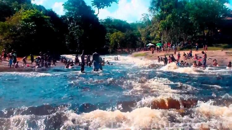 | ||
Weather 24°C, Wind E at 6 km/h, 96% Humidity Points of interest Reserva Ecológica Cachoeir, Cachoeira Santuario, Cachoeira Da Pedra Furada | ||
Presidente Figueiredo is a municipality located in the Brazilian state of Amazonas. Its population was 30,978 (2013) and its area is 25,422 km².
Contents
Map of Presidente Figueiredo - State of Amazonas, Brazil
Conservation
The municipality contains the 374,700 hectares (926,000 acres) Caverna do Maroaga Environmental Protection Area, established in 1990. It contains part of the 938,720 hectares (2,319,600 acres) Uatumã Biological Reserve, a strictly protected conservation unit created in 2002. It also holds about 2% of the Rio Negro Left Bank Environmental Protection Area, a 611,008 hectares (1,509,830 acres) sustainable use conservation area created in 1995.
References
Presidente Figueiredo Wikipedia(Text) CC BY-SA