
Length 7 km (4.3 mi) Highest elevation 77 m (253 ft) | Area 12 km (4.6 sq mi) Width 2.5 km (1.55 mi) Elevation 77 m | |
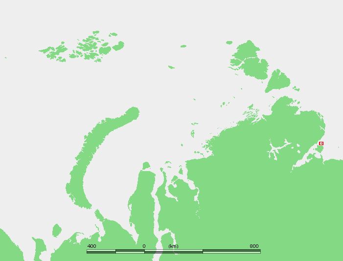 | ||
Preobrazheniya Island (Russian: Остров Преображения), meaning 'Transfiguration Island', is an island in the Laptev Sea, Russia.
Contents
Map of Preobrazheniya Island, Sakha Republic, Russia, 678440
Geography
The island is elongated and small. It is situated off the Northern mouth of the Khatanga Gulf (Russian: Хатангский залив), 15 km north of Bolshoy Begichev Island.
Preobrazheniya Island is 7 km in length and its maximum width is 2,5 km. This island is granitic and has high rocky cliffs on its eastern side. The west side of the island is sloping to a gravel beach.
History
This island was useful as a landmark for ships plying the Northern Sea Route in the past. It is also known as "Ostrov Vstrechnyy". There is an abandoned Polar research station on Preobrazheniya.
Administration
For administrative purposes Preobrazheniya Island belongs to the Sakha (Yakutia) Republic of the Russian Federation.