
Basin size 15,500 km² Discharge 90 m³/s Country Russia | Length 123 km Basin area 15,500 km² | |
 | ||
Main source Instruch and Angrapa confluence River mouth Vistula Lagoon
Baltic Sea Sources Instruch River, Angrapa River | ||
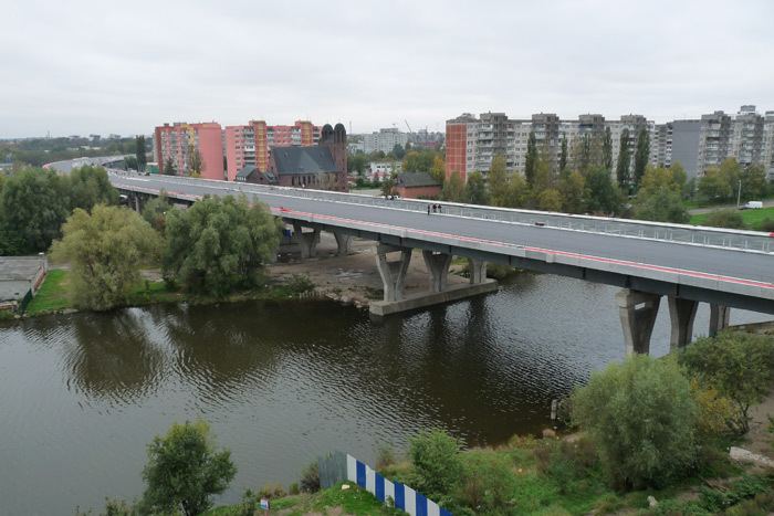
The Pregolya or Pregola (Russian: Прего́ля; German: Pregel; Lithuanian: Prieglius; Polish: Pregoła) is a river in the Russian Kaliningrad Oblast exclave.
Contents
Map of Pregolya River, Kaliningradskaya Oblast, Russia
Overview
It starts as a confluence of the Instruch and the Angrapa and drains into the Baltic Sea through Vistula Lagoon. Its length under the name of Pregolya is 123 km, 292 km including the Angrapa. The basin has an area of 15,500 km². The average flow is 90 m³/s.
Euler's Seven Bridges of Königsberg problem was based on the river's bridges in Königsberg, now Kaliningrad.
The ancient name by Ptolemy of the Pregolya River is Chronos.
Cities and towns
Tributaries
References
Pregolya River Wikipedia(Text) CC BY-SA