
Country Thailand Time zone ICT (UTC+7) Geocode 7706 Population 73,634 (2007) | Seat Khao Noi Postal code 77120 Area 765.4 km² | |
 | ||
Province Prachuap Khiri Khan Province | ||
Pran Buri (Thai: ปราณบุรี) is a district (amphoe) in the northern part of Prachuap Khiri Khan Province, central Thailand.
Contents
Map of Pran Buri District, Prachuap Khiri Khan, Thailand
History
Mueang Pran was a city in the southern cities group of Ayutthaya kingdom. In 1906 King Chulalongkorn (Rama V) merged Mueang Pran, Mueang Kamnoed Nopphakhun, and Mueang Prachuap to a new Mueang Pran Buri and located the city hall at Tambon Ko Lak, now in Amphoe Mueang Prachuap Khiri Khan. In 1915 to prevent confusion between the cities' names, King Vajiravudh (Rama VI) changed the name of the province from Pran Buri to Prachuap Khiri Khan, as its center was at the same place as the former Mueang Prachuap. This also kept the name of the town and the Pran Buri River together.
Geography
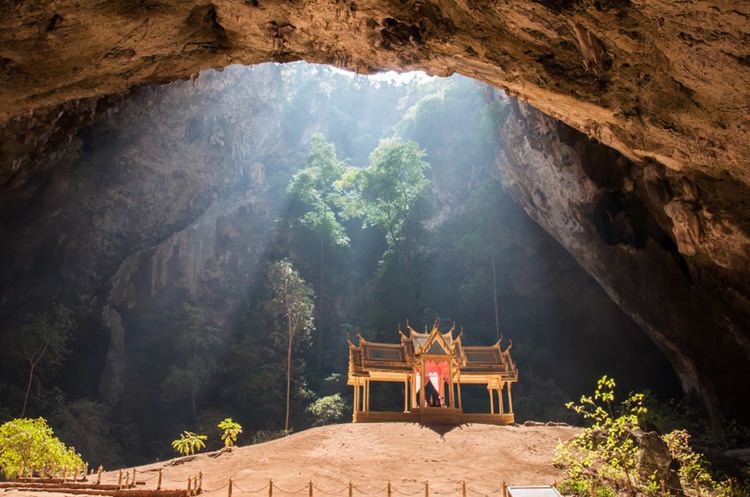
Neighboring districts are Hua Hin to the north and Sam Roi Yot to the south. To the west is the Tanintharyi Division of Myanmar, to the east the Gulf of Thailand.
The main water resource of the district is the Pran Buri River. The mangrove forest at the mouth of the river to the gulf of Thailand is protected as the Pran Buri Forest Park.
Administration
The district is divided into six sub-districts (tambon), which are further subdivided into 44 villages (muban). There are two townships (thesaban tambon). Pran Buri covers parts of the tambon Pran Buri, Khao Noi and Nong Ta Taem, and Pak Nam Pran covering parts of the same-named tambon.
Missing numbers are tambon which now form Sam Roi Yot District.