
Country United States GNIS feature ID 453769 Local time Saturday 4:51 PM | State Indiana FIPS code 18-61578 Elevation 260 m Population 1,651 (2010) | |
 | ||
Weather 17°C, Wind E at 18 km/h, 62% Humidity Area 92.62 km² (91.25 km² Land / 135 ha Water) | ||
Prairie Township is one of seventeen townships in Kosciusko County, Indiana. As of the 2010 census, its population was 1,651 and it contained 671 housing units.
Contents
Map of Prairie Township, IN, USA
History
Prairie Township was organized in 1838 and named from its setting upon the prairie.
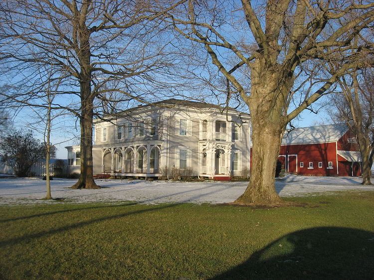
The Hall Farm was listed on the National Register of Historic Places in 1992.
Geography
According to the 2010 census, the township has a total area of 35.76 square miles (92.6 km2), of which 35.23 square miles (91.2 km2) (or 98.52%) is land and 0.52 square miles (1.3 km2) (or 1.45%) is water.
References
Prairie Township, Kosciusko County, Indiana Wikipedia(Text) CC BY-SA