
State Amapá Local time Saturday 3:22 PM | Area 4,957 km² Population 3,783 (2010) | |
 | ||
Weather 26°C, Wind NE at 16 km/h, 91% Humidity | ||
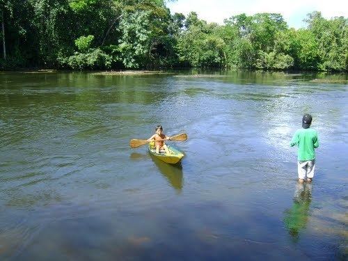
Pracuúba is a municipality located in the mideast of the state of Amapá in Brazil.
Contents
Map of Pracu%C3%BAba - State of Amap%C3%A1, Brazil
Location
The population of Pracuúba is 3,783 and its area is 4,957 square kilometres (1,914 sq mi). Pracuúba is located 235 kilometres (146 mi) from the state capitol of Macapá. The name of the municipality comes from a tree common to the area known as the pracuubeira. The economy of Pracuúba relies of artisanal fishing and raising livestock, primarily buffalo. It also produces timber and açaí.
Conservation
The municipality contains part of the 392,469 hectares (969,810 acres) Lago Piratuba Biological Reserve, a fully protected conservation unit created in 1980. It also contains 4.52% of the 2,369,400 hectares (5,855,000 acres) Amapá State Forest, a sustainable use conservation unit established in 2006. It contains 52.85% of the 460,353 hectares (1,137,560 acres) Amapá National Forest, a sustainable use conservation unit created in 1989.