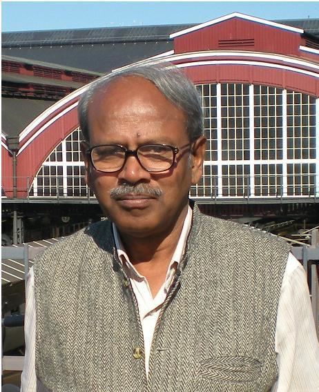
Name Prabhat Chandra | Fields Hydro Geophysics Nationality Indian | |
 | ||
Born 4 December 1950 (age 74) Varanasi, India ( 1950-12-04 ) Spouse Durga Chandra (1983–present) | ||
Prabhat C Chandra (born 4 December 1950) is an Indian geophysicist. Since 1973, he has done extensive work in the field of hydrogeophysics, which encompasses groundwater exploration, development and management with specialization in groundwater geophysics using various geophysical methods.
Contents
Early life and education
Born in Varanasi, Uttar Pradesh, India. He did graduation in Geology & post graduation in Geophysics from Banaras Hindu University, He then pursued his doctoral work in Groundwater Geophysics jointly from Banaras Hindu University & National Geophysical Research Institute, Hyderabad. At Banaras Hindu University, he was a topper of graduation in geology as well as post graduation in geophysics. He was awarded BHU Cash Prize and Master N.L. Sharma Memorial
Gold Medal for standing first in Geology.
Career
Chandra started his career with National Geophysical Research Institute, Hyderabad as a Research Fellow in the year 1973. In the year 1978, he joined the Central Ground Water Board, Ministry of Water Resources (India) as a geophysicist. Later, he became Regional Director in the same organization. Currently he is associated with WAPCOS as an Advisor & with 'The World Bank' as a consultant.
His work includes:
- Source finding in drought prone areas/ rural community water supply
- Deep productive fracture zone aquifers in hard rocks
- Fresh/saline groundwater interface and aquifers in coastal tracts & cyclone inundated areas
- Fresh aquifers in inland ground water salinity
- Regional aquifers in sedimentary basins
- Aquifers in saturated cavities of limestone
- Fresh groundwater aquifers in desert
- Aquifers in shallow and deep palaeo-channels
- Fresh aquifers in island
- Groundwater in hilly tracts
- Groundwater movement
- Auto-flowing aquifer zones
- Aquifer hydraulic parameter estimation
- Integrated interpretation of aeromagtic maps & satellite imageries for fracture zones
- Groundwater pollution studies - anthropogenic
- Safe-aquifer delineation & well designing in geogenically contaminated areas
- Artificial recharge
- Groundwater seepages
- Deep aquifers in Ganga,Bengal and Godavari basins
- Land subsidence & long cracks due to over- exploitation
- Integrating multi-technique surface/subsurface geophysics
- Borehole geophysical logging
- Water well assembly designing/ well rehabilitation
