
Primary inflows Basin countries United States Max. width 0.9 mi (1.4 km) Area 115 ha Mean depth 1.2 m | Primary outflows Powwow River Max. length 1.8 mi (2.9 km) Surface area 348 acres (1.41 km) Surface elevation 35 m Length 2.9 km | |
 | ||
Similar Country Pond, Great Pond, Bellamy Reservoir, Pawtuckaway Lake, Suncook Lakes | ||
Outdoor pursuits paddling at powwow pond
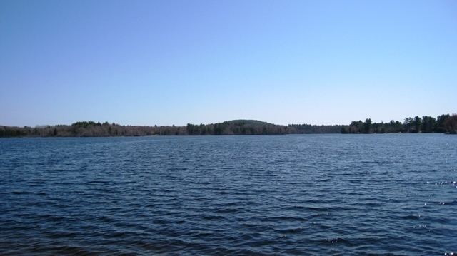
Powwow Pond is a 348-acre (1.41 km2) water body in Rockingham County in southeastern New Hampshire, United States. The outlet of the pond is located in the town of East Kingston, but most of the lake lies in the town of Kingston. The Powwow River, the outlet of the pond, flows to the Merrimack River in Amesbury, Massachusetts.
Contents
Map of Powwow Pond, New Hampshire, USA
The lake is classified as a warmwater fishery, with observed species including smallmouth and largemouth bass, chain pickerel, horned pout, and black crappie.
References
Powwow Pond Wikipedia(Text) CC BY-SA