
Country United States County Brown FIPS code 20-57350 Elevation 366 m Zip code 66527 Local time Saturday 11:06 AM | Time zone Central (CST) (UTC-6) GNIS feature ID 0472972 Area 36 ha Population 78 (2013) Area code 785 | |
 | ||
Weather 6°C, Wind N at 27 km/h, 99% Humidity | ||
Powhattan is a city in Brown County, Kansas, United States. As of the 2010 census, the city population was 77.
Contents
Map of Powhattan, KS 66527, USA
History
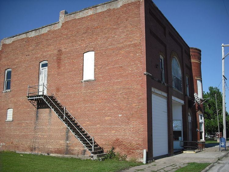
Powhattan was founded about 1877. The city was named for the father of Pocahontas who resided in Jamestown, Virginia. It was originally a stagecoach station named Locknane.
Geography
Powhattan is located at 39°45′44″N 95°38′1″W (39.762087, -95.633653). According to the United States Census Bureau, the city has a total area of 0.14 square miles (0.36 km2), all of it land.
2010 census
As of the census of 2010, there were 77 people, 30 households, and 20 families residing in the city. The population density was 550.0 inhabitants per square mile (212.4/km2). There were 38 housing units at an average density of 271.4 per square mile (104.8/km2). The racial makeup of the city was 90.9% White and 9.1% Native American. Hispanic or Latino of any race were 2.6% of the population.
There were 30 households of which 33.3% had children under the age of 18 living with them, 63.3% were married couples living together, 3.3% had a female householder with no husband present, and 33.3% were non-families. 33.3% of all households were made up of individuals and 23.3% had someone living alone who was 65 years of age or older. The average household size was 2.57 and the average family size was 3.30.
The median age in the city was 34.8 years. 32.5% of residents were under the age of 18; 0.0% were between the ages of 18 and 24; 28.6% were from 25 to 44; 18.2% were from 45 to 64; and 20.8% were 65 years of age or older. The gender makeup of the city was 40.3% male and 59.7% female.
2000 census
As of the census of 2000, there were 91 people, 41 households, and 25 families residing in the city. The population density was 686.2 people per square mile (270.3/km²). There were 44 housing units at an average density of 331.8 per square mile (130.7/km²). The racial makeup of the city was 90.11% White, 7.69% Native American, and 2.20% from two or more races. Hispanic or Latino of any race were 3.30% of the population.
There were 41 households out of which 26.8% had children under the age of 18 living with them, 51.2% were married couples living together, 4.9% had a female householder with no husband present, and 39.0% were non-families. 36.6% of all households were made up of individuals and 29.3% had someone living alone who was 65 years of age or older. The average household size was 2.22 and the average family size was 2.88.
In the city, the population was spread out with 22.0% under the age of 18, 12.1% from 18 to 24, 18.7% from 25 to 44, 22.0% from 45 to 64, and 25.3% who were 65 years of age or older. The median age was 42 years. For every 100 females there were 82.0 males. For every 100 females age 18 and over, there were 86.8 males.
The median income for a household in the city was $21,500, and the median income for a family was $29,167. Males had a median income of $28,542 versus $16,250 for females. The per capita income for the city was $12,147. There were no families and 12.1% of the population living below the poverty line, including no under eighteens and none of those over 64.