
Area 4.532 km² Established 1982 | Nearest city Buckeye | |
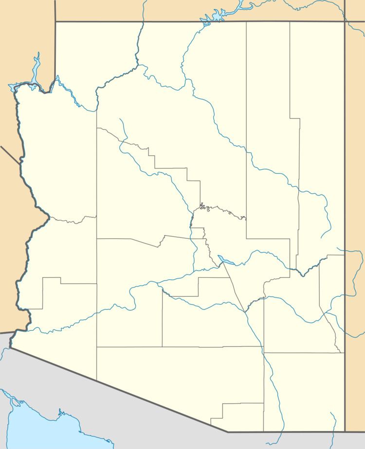 | ||
Location Maricopa County, Arizona, United States Governing body Arizona Game and Fish Department | ||
The Powers Butte Wildlife Area is located along the east side of the Gila River, about twenty miles north of Gila Bend, in Maricopa County, Arizona. It was founded in 1982 and spans 1,120 acres.
Contents
Area descriptionEdit
Powers Butte Wildlife Area lies at less than 1,000 feet in elevation within the central Gila River valley south of Phoenix, Arizona. The 91st Avenue Wastewater Treatment Plant, local agriculture, intermittent tributary flows, and groundwater all feed the Gila River through the wildlife area, creating dense stands of salt cedar, and marsh and wetland habitats. Powers Butte, a steep knoll formed by volcanic boulder, provides an overlook to the surrounding valley and river.
Winters are mild, high temperatures falling below 60 °F are not common. On relatively rare occasions, temperatures can drop below freezing during the coolest parts of the year. Summer afternoons can exceed 100 °F from late May through late September. Rainfall is spotty and sporadic, and in most years totals less than eight inches. Dust storms can occur occasionally.
Flora and FaunaEdit
Habitats present in this wildlife area include river and marshland, creosote desert, current agriculture, quail-brush/mesquite, mesquite, and tamarisk.
Vegetation consists of:
Many types of wildlife in the Southwest are dependent on riparian habitats for their survival. Riparian habitats are the most noticeable plant life on the Powers Butte Wildlife Area. The most common plants are cottonwood, salt cedar and mesquite. Salt cedar was introduced to Arizona many years ago and does not naturally occur here. Most of the original cottonwood and willow trees have been replaced with salt cedar. The upper flood plain, which once was a mesquite forest, also contains a lot of salt cedar.
In this wildlife area, riparian areas offer home to more sensitive and rare species than other habitats do. This area is highly valued for its protection of sensitive species and habitats in Arizona. With appropriate enhancement, the amount and quality of riparian and wetland habitats can be increased, and diversified to support more species that depend on such areas.
Mourning doves, white-winged doves, Gambel's quail, and cottontail rabbits inhabit the Powers Butte Wildlife Area. Other wildlife found here include Sonoran collared lizard, coyote, diamondback rattlesnake, Gila monsters, desert tortoise, greater roadrunner, and great blue heron. Particularly abundant during migration and in the winter, various birds, including a wide assortment of hawks and other birds of prey, find food and shelter within the bounds of this wildlife area as well.
Management history and goalsEdit
Roosevelt Dam was built on the upper Salt River in the early 1900s. This dam decreased the amount of water entering the Gila River where the two rivers meet. During this same time, the amount of water in the Gila River was decreased. The loss of water in the rivers resulted in the loss of most of the healthy cottonwood and willow trees along this portion of the Gila River. These trees require a lot of water to stay healthy. A long drought during the 1940s and early 1950s, and increases in the amount of water being used, accelerated the loss of riparian habitats.
Riparian and mesquite forests were also cleared to grow crops. These agriculture uses continue in many locations today. During the mid-1900s, many of the crops grown were small grains that provide an important food source for mourning and white-winged doves. Because of the large amount of food, large numbers of doves concentrated in the area. The salt cedar, which has replaced most of the native riparian trees in the area, provides good nesting places for doves.
Because of abundant food and nesting places, this area became known as "Arizona's dove factory" during the 1950s and 1960s. Most agriculture has moved away from small grains today, and the number of doves has decreased with the available food supply.
Powers Butte was acquired from the Bureau of Reclamation in 1982 to make up for wildlife habitat losses along the lower Colorado River. Management objectives include making up for those losses by providing quality wildlife habitat and recreational opportunities along the Gila River. Powers Butte Wildlife Area is managed for the enhancement of its riparian and aquatic habitats.