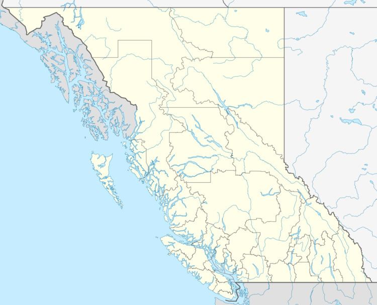
Province British Columbia | ||
 | ||
Capital Powell River, British Columbia Clubs and Teams Powell River Kings, Powell River Regals Points of interest Saltery Bay Provincial Park, Willingdon Beach Park, Okeover Arm Provincial, Jedediah Island Marine Pr, Powell River Historical Destinations Powell River - British Co, Texada Island, Lund, Lasqueti Island, Strait of Georgia | ||
The Powell River Regional District is a regional district in the Canadian province of British Columbia. It includes the City of Powell River and a number of unincorporated areas. The District encompasses a land area of 5,092.06 km² (1,966.06 sq mi).
Contents
Map of Powell River, BC, Canada
The District is bounded by the mainland portion of the Strathcona Regional District to the north, and to the east by the Squamish-Lillooet and Sunshine Coast Regional Districts. On the mainland, this includes the area southeast of Powell River to the ferry terminal at Saltery Bay and northwest of Powell River to Desolation Sound and the terminus of Highway 101 in Lund. Lasqueti Island and Texada Island, along with the southernmost Discovery Islands (including Hernando and Savary), are included, as are the largely uninhabited lands to the north and west of this area.
As of the 2006 census, 19,599 people lived in the District. Its head offices are located in Powell River. The District is governed by a board of seven directors representing the municipality, along with five others representing the unincorporated areas.
